Skip to content

Or try searching by Category and/or Location

Top destinations

Búðará
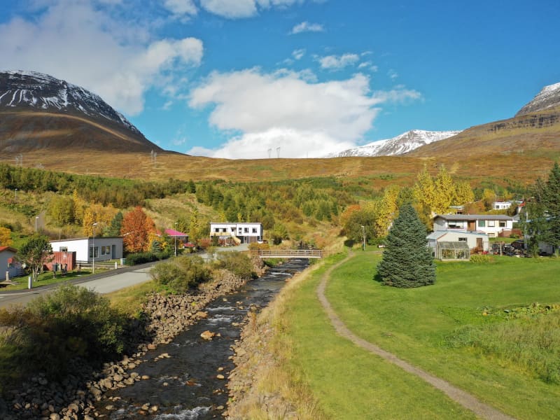
Búðará flows right through Reyðarfjörður town. In the center of the town, you will find the start of a beautiful hiking trail that runs along the river through the forested riverbank of Búðará. When you come to the War Museum, you can choose whether to walk along with a wooded lookout point along the ridge east of the War Museum or up to Búðarárfoss waterfall.
Grænafell
The haven of Mt. Grænafell by Reyðarfjörður has served as the prime location for local outdoor activities for a number of years. At the top of the mountain, a beautiful lake awaits the visitor and a spectacular gorge carves the landscape beside the fell. A paradise of fine bushes at the foot of the mount completes the icing on the cake. The tiny forest is adorned by planted trees,  brooklets and extensive rocks fragments from the cliff, reminiscent of dwellings from the land of fairy tales. The area has been made easily accessible by marked hiking trails.
Hólmanes
Between Reyðarfjörður and Eskifjörður you can visit the Nature reserve Hólmanes. This is an ideal place to enjoy a good walk either down to the sea or up the hills. Birds and remarkable rock formations can be enjoyed in Hólmanes. With luck, you could stumble upon a herd of reindeers. Powered by Wikiloc
Helgustaðanáma Hiking Trail
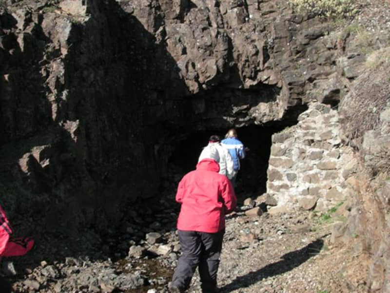
The Iceland spar mine in Helgustaðaland can be found on the way from Eskifjörður to Vöðlavík, and a footpath leads to it. Helgustaðanáma is an old Iceland spar mine in the land of Helgustaðir in Eskifjörður, which was protected as a natural monument in 1975. Helgustaðanáma is one of the most famous spar mines in the world, where spar was excavated from the ground from the 17th century until the first half of the 20th century. Most of the Iceland spar in museums around the world comes from the mine at Helgustaðir, but some of the largest and purest specimens of spar in the world were found in Helgustaðanáma. Iceland spar is a particularly clear crystal of the rock calcite, but the rock played a vital role in developing various studies on the properties of light. Today the Iceland spar is protected, and it is strictly forbidden to remove it from Helgustaðanáma.
Geithúsaárgil ravine
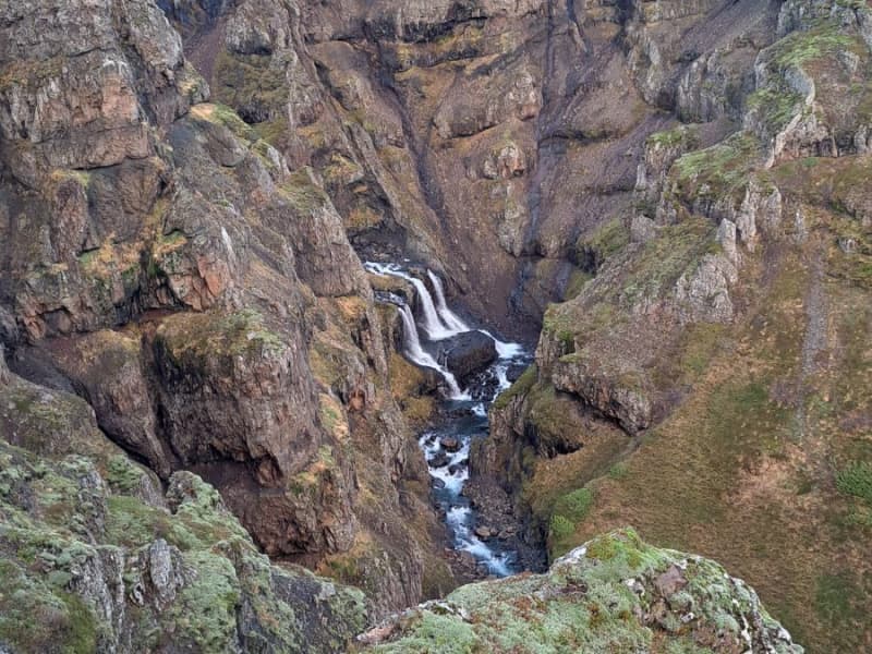
Geithúsárgil is a ravine that runs down from the mouth of Sléttudalur under the roots of Grænafell in Reyðarfjörður. The river that flows down the gorge is called Geithúsaá and joins Norðurá when it comes down to the fjord. The gorge is magnificent and spectacular with criss-crossing hammer walls on each side and has been shaped by the Geithúsaá river over the centuries. The river has thus shaped the gorge and still is, but gorges are said to be the characteristics of "young waterfalls".  
Barkurinn - The Barque
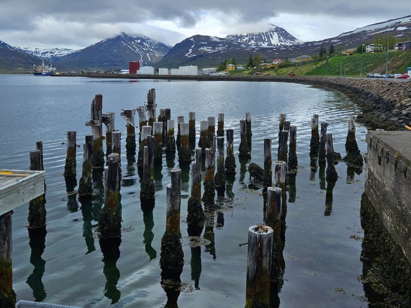
At around 30 km in length, Reyðarfjörður is the longest of the East Icelandic fjords, and is almost 6 km wide. From it´s mouth, the fjord initially lies towards the northwest, then turnes west so as to shelter it´s inner areas from ocean swells. In many places below the shore there are aalso sharp drop-offs which make harbour conditions especially favourable. The area where the barque (barkurinn) is located is named Bakkagerðiseyri (eyri = gravel flats deposited by the stream running from the slopes above). The group of houses first built here gradually grew into the village of Búðareyri, through nowadays this village is usually just named after the fjord. Two Norwegian brothers, Otto and Fredrik Wathne, moved to Iceland near the end of the 19th century and built up trading and fishing operations which contributed to the growth of the village. The sunken Barque In 1884, the Wathne brothers had part of a barque sunk below Bakkagerðiseyri so that a wharf could be fastened to it which has ever since been known as Barkurinn. The Wathne´s soon added a warehouse, salting shed and even a store and residence on the low gravelly area, continuing business here until nearly 1905. However, nothing remains of all this apart from Barkurinn, and even it has been restored. The original barque can still be seen below the wharf when the sea is calm at low tide. By 1907, a road was opened over Fagridalur pass, and Barkurinn became one of the main shipping points for imports and exports from Fljótsdalshérað and Reyðarfjörður. For many years, a regional cooperative operated a considerable business at Reyðarfjörður, including at Bakkagerðiseyri. Activities were increased by the foreign occupation during World War II, with the military forces attempting to blast away the sunken barque, but giving up and rebuilding Barkurinn under the same name. Restoration of Barkurinn The condition Barkurinn was in before restoration began in 2010 - a once impressie structure that had seen better times. In 2010, the Fjarðabyggð Harbour Fund restored Barkurinn, re-building it partly above the barque, which can still be viewed on the sea floor below. The new wharf is solely meant for peasure - a site where residents and visitors can fish, read about the warf´s history and enjoy the scenery. What is a Barque? The large sailing ships called barques normally had three masts, which from the rear were the mizzenmast, mainmast and foremast. Historically, barques transported goods to and from Iceland, and once old and dilapidated were often considered handy as a base support for harbour structures. This involved sinking the barque to the bottom and fastening a wharf to it for the fishing industry and various other vessels.
Búðará Canyon and Waterfall
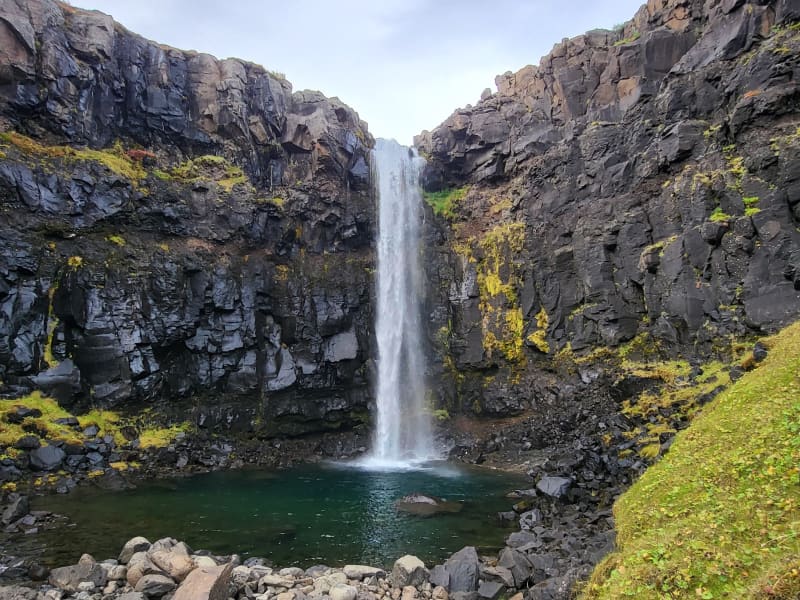
A beautiful walking path from the center of Reyðarfjörður. Búðarárfoss can be found above Reyðarfjörður. The waterfall is full of water and falls down Búðarklettar. The river flows down through the center of the urban area of Reyðarfjörður. A pleasant footpath up the Búðarárgil, from the city center up the Búðará river. The route leads i.a. past the Icelandic Wartime Museum. The camp cliffs are very majestic as they are maintained, rock pigeons (Colombia livia) have their abode there, there is also a common raven (Corvus corax) and down in the moor there are quite a lot of stilts (Oenanathe oenanthe), mouse shrike (Troglodytes troglodytes) and snow tit (Plectrophenaxnivalis). Soon after, you come to Búarðarfoss and above it is the Reyðarfjörður Electricity Dam.  The Electricity supply was established with the joint effort of the towns people in 1930. Even higher is Svínadalur.
Völvuleiði
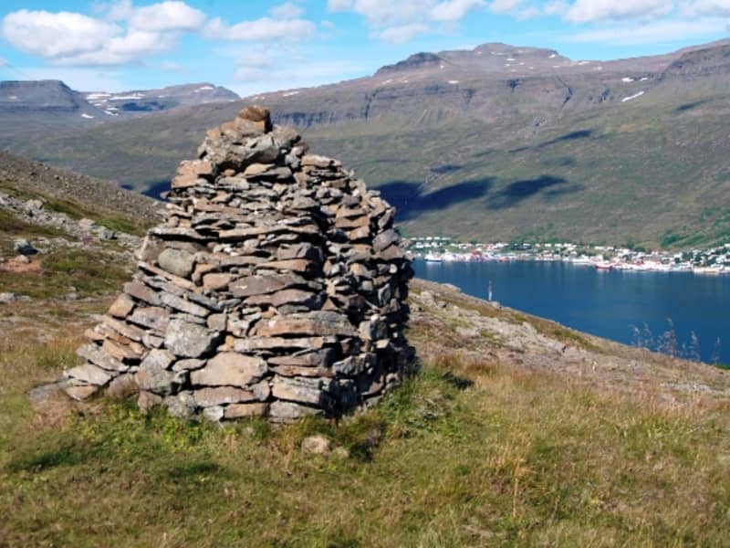
At the top of Hólmaháls, just above the road, is the grave mound of a Völva (prophetess) that has protected Reyðarfjörður and Eskifjörður from attacks from sea for centuries. Legend has it that Völva lived in Sómastaðir in the 17th century, and before she died, she asked to be buried where the best view of Reyðarfjörður was. She said that the fjords, Eskifjörður and Reyðarfjörður, would never be attacked from sea as long as her bones remained intact. Later, when the Turks came to the East Fjords, they intended to sail into Reyðarfjörður and plunder, but when they sailed to the mouth of the fjord, such a thick fog came towards them that they had to turn away.  The legend also says that as long as stones are regularly added to the grave, nothing terrible will happen in the fjords. 
Vattarnes
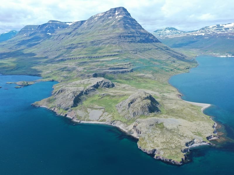
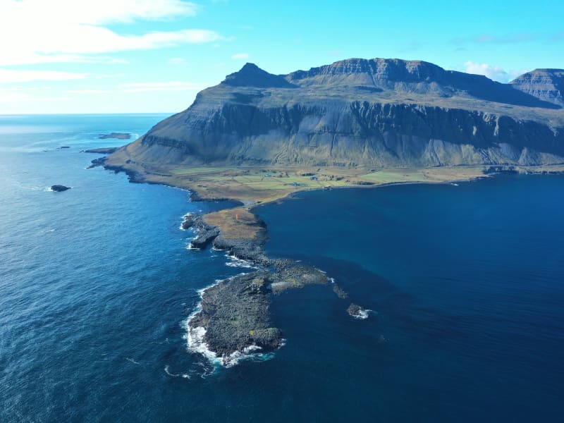
The Vattarnes peninsula is part of a beautiful coastline between Reyðarfjörður and Fáskrúðsfjörður. Vattarnesviti lighthouse is located on Vattarnes. It used to be part of the official way between those two towns, which are now connected by a tunnel. On a good day, choosing the longer way is well worth it.