Skip to content

Or try searching by Category and/or Location


Austurland offers a variety of family friendly experiences and activities. All family members should find something of interest while exploring Austurland and there are plenty of rest-stops along the way to stop and stretch, take in the scenery and breathe in the fresh air. Here are some suggestions that we feel will hit home with even the youngest family members.

Turf Houses by Hjarðarhagi
The old sheep houses by Hjarðarhagi are the remains of a six-house cluster, but the other houses were removed around 1970 due to proximity to the ring road. Today, these remaining houses have been renovated in their original form. The houses were in use until 1980 and are called Efstahús and Miðhús.
Disc golf in Hallormsstaður
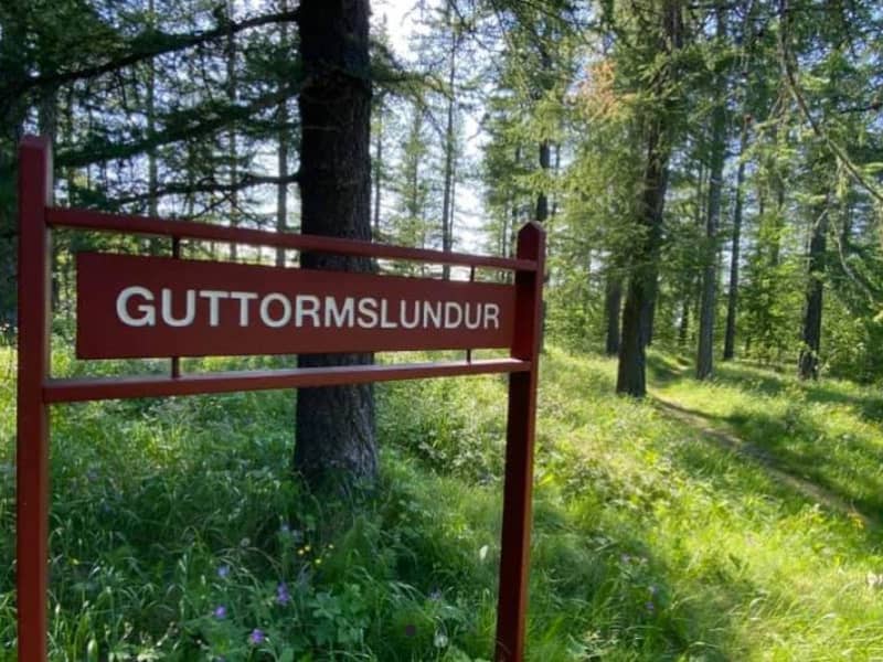
A 9 course track in Guttormslundur, close to the camping site in Atlavík. There are two tees at each basket which gives players at every experience level a run for their money. Here you can find a map of the course.
Kárahnjúkar
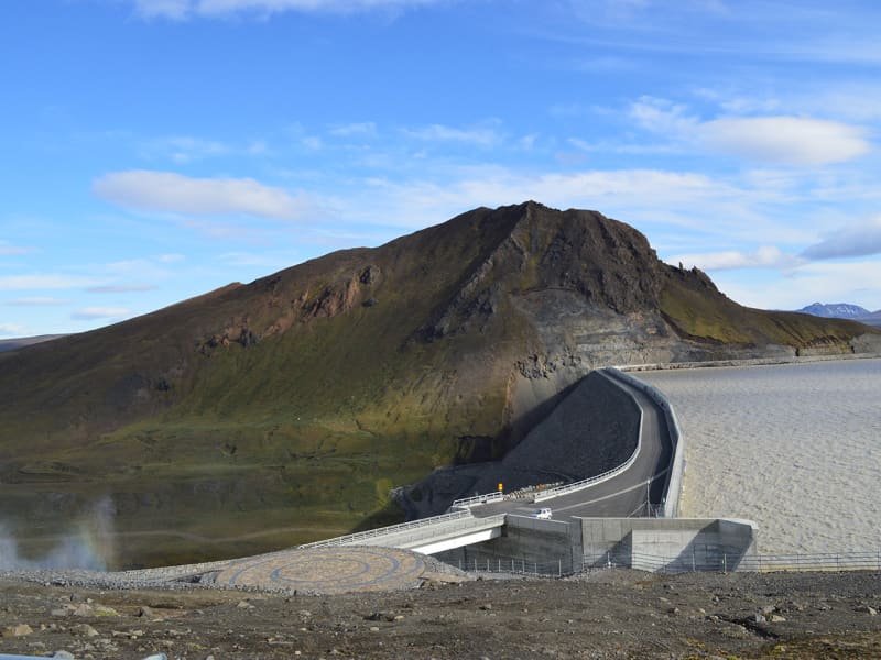
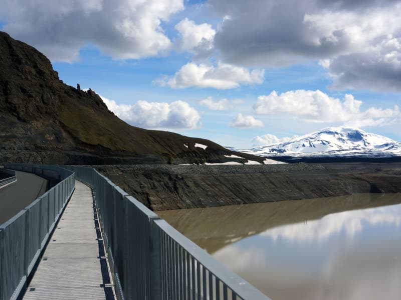
The Power Plant at Kárahnjúkar is the largest construction project in Icelandic history and the most significant electricity production in the country. The Kárahnjúkar Power Plant was built to produce energy for the aluminum plant at Reyðarfjörður. A trip to Kárahnjúkar is an ideal road trip for the family. A paved road runs from Fljótsdalur to the Kárahnjúkar dam.  The Kárahnjúkar area is ideal for outdoor activities. It is fun to see the Kárahnjúkar Dam itself and the Hálslón Reservoir. When Hálslón fills up and overflows, the Hverfandi waterfall appears at the western end of the dam, where the water plunges about 100 meters into Hafrahvammahljúfur. The waterfall is mighty and can become more powerful than Dettifoss. There are also fun hiking trails in the area; for example, there is a great hiking trail along Hafrahvammagljúfur and to Magnahellir, but to get to the starting point of the marked hiking trail, you need a four-wheel-drive car. 
Álfkonusteinn Hiking Trail
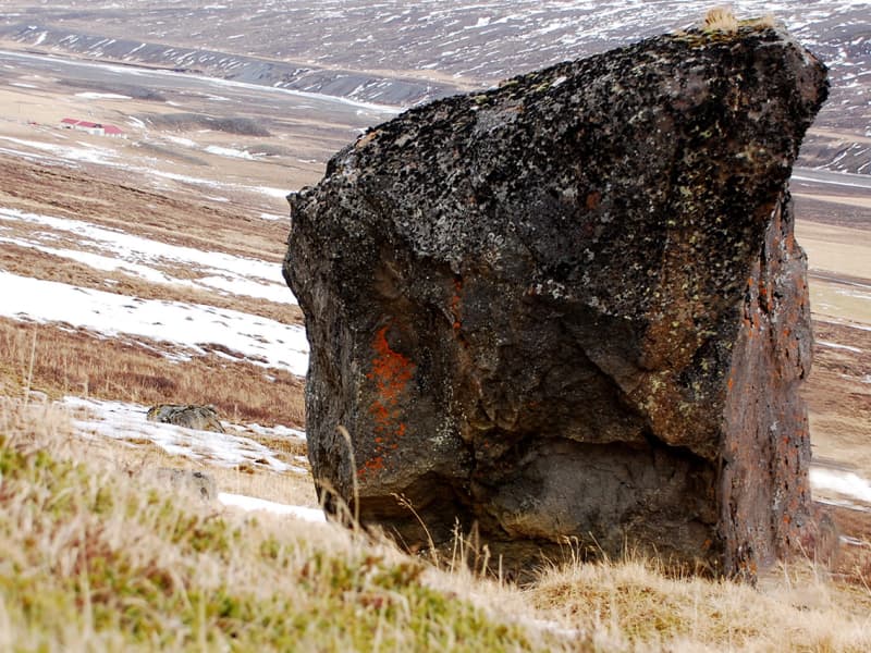
Above the farm Bustarfell in Vopnafjörður stands a large rock called Álfkonusteinn (Elf Stone). It is relatively easy to walk from Bustarfell to the rock, and an interesting legend related to the stone. It claims that a district magistrate’s wife at Bustarfell was once led in her dreams by an elf into the stone. There she came to the aid of an elf-woman in childbirth, who paid for the assistance with a beautiful gold-plated cloth. The cloth is neatly made, exotic and unique in this country, and is now owned by the National Museum of Iceland.
Tjarnargarðurinn Park
Tjarnargarðurinn is a lush park in the heart of Egilsstaðir, with beautiful woodland. Its name is derived from the pond that it surrounds. It is a nice place to relax, enjoy the weather, play, or have a picnic. The Frisbee golf court is found in this recreation area. Frisbees can be found at the camping site in Egilsstaðir.
Héraðssandur
Héraðssandur
Búðará Canyon and Waterfall
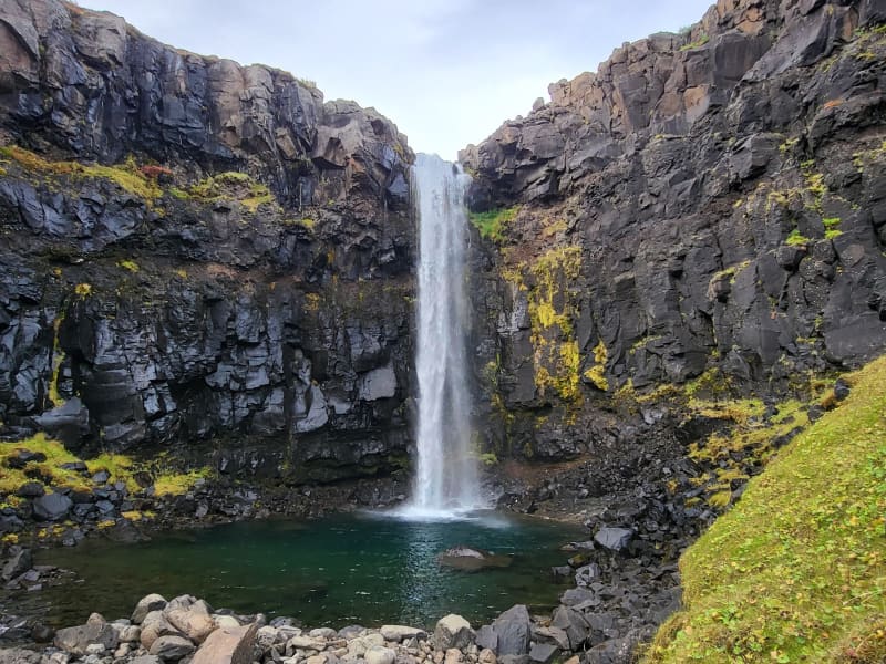
A beautiful walking path from the center of Reyðarfjörður. Búðarárfoss can be found above Reyðarfjörður. The waterfall is full of water and falls down Búðarklettar. The river flows down through the center of the urban area of Reyðarfjörður. A pleasant footpath up the Búðarárgil, from the city center up the Búðará river. The route leads i.a. past the Icelandic Wartime Museum. The camp cliffs are very majestic as they are maintained, rock pigeons (Colombia livia) have their abode there, there is also a common raven (Corvus corax) and down in the moor there are quite a lot of stilts (Oenanathe oenanthe), mouse shrike (Troglodytes troglodytes) and snow tit (Plectrophenaxnivalis). Soon after, you come to Búarðarfoss and above it is the Reyðarfjörður Electricity Dam.  The Electricity supply was established with the joint effort of the towns people in 1930. Even higher is Svínadalur.
Hafnarhús
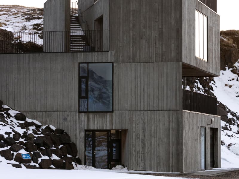
At Hafnarhólmi in Borgarfjörður eystri a new, magnificent building was unveiled in 2020. Not only had there been a lack of facilities for fishermen and other dock workers of Borgarfjörður harbor - but also for the enormous number of tourists who make their way to the puffin nesting ground in Hafnarhólmi each year. The municipality, therefore, decided to host a design competition in collaboration with the Association of Icelandic Architects for the construction of a new facility in the area. The winning submission came from Anderson & Sigurdsson architects. The house is plain and fits well in with the surroundings, but still is an attraction in itself and catches the eye of everyone who visits the area.
The Worm in Vallanes
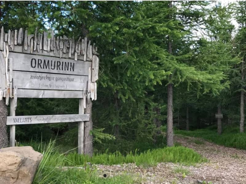
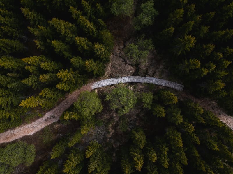
An adventurous trail that meanders like the Lagarfljót worm through the oldest forest in Vallanes from 1989. There are many short and exciting side paths (escape routes) on the trail. In the middle of the forest is the "eye of the snake", an area with benches and good picnic facilities. Distance: 1.5 km Family friendly
Tvísöngur Sound Sculpure
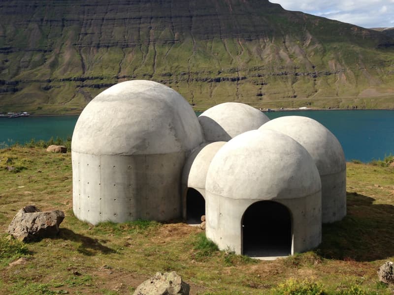
Tvísöngur sculpture, by artist Lukas Kühne, mixes concrete, nature, and sound to create an interactive tribute to Iceland’s unique tradition of five-tone harmony.  The installation piece looks like a grouping of interconnected cement bubbles from afar. Up close the five segments are quite large, ranging from roughly 6 to 12 feet tall and can be entered via rounded arches built into the walls. Once inside the stark industrial domes, visitors will find that they have each been designed to resonate at different harmonies as the wind blowing in off the cliff rushes through the openings. The collective effect is almost as though the wind itself is playing a giant instrument. The five chambers of the piece are meant to recall the Icelandic musical tradition of quintal harmony, with each dome reflecting a tone in the tradition. Juxtaposed with the serene and stark surroundings, it seems as though Iceland itself is creating the music. Tvísöngur is a permanent work and is meant to keep the country’s musical traditions alive, which is not an easy thing to do simply with concrete.
Selskógur
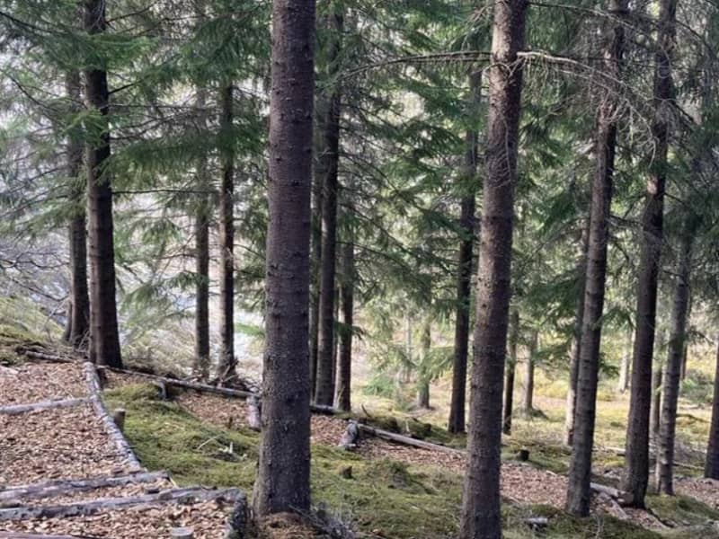
Selskógur the small forest on the eastern outskirts of Egilsstaðir, mainly consists of birch but also numerous rowans. Inviting woodchip trails of various lengths lure the wanderer to stroll through the peaceful surroundings.  A football field and a playground are among other recreational options in the area.
Helgustaðanáma Hiking Trail
The Iceland spar mine in Helgustaðaland can be found on the way from Eskifjörður to Vöðlavík, and a footpath leads to it. Helgustaðanáma is an old Iceland spar mine in the land of Helgustaðir in Eskifjörður, which was protected as a natural monument in 1975. Helgustaðanáma is one of the most famous spar mines in the world, where spar was excavated from the ground from the 17th century until the first half of the 20th century. Most of the Iceland spar in museums around the world comes from the mine at Helgustaðir, but some of the largest and purest specimens of spar in the world were found in Helgustaðanáma. Iceland spar is a particularly clear crystal of the rock calcite, but the rock played a vital role in developing various studies on the properties of light. Today the Iceland spar is protected, and it is strictly forbidden to remove it from Helgustaðanáma.
Kárahnjúkavirkjun
A large power plant has been built at Kárahnjúkar, to supply the aluminum plant in Reyðarfjörður with energy. The Kárahnjúkar power plant is the largest construction project in Icelandic history and, at the same time, the most significant electricity production in the country. A trip to Kárahnjúkar is an ideal road trip for the family. A paved road runs from Fljótsdalur to the Kárahnjúkar dam. The Kárahnjúkar area is ideal for outdoor activities. It is fun to see the Kárahnjúkar Dam itself and the Hálslón Reservoir. When Hálslón fills up and overflows, the Hverfandi waterfall appears at the western end of the dam, where the water plunges about 100 meters into Hafrahvammagljúfur. The waterfall is mighty and can become more powerful than Dettifoss waterfall. There are also fun hiking trails in the area; for example, there is a great hiking trail along Hafrahvammagljúfur and to Magnahellir, but to get to the starting point of the marked hiking trail, you need a four-wheel-drive car. 
Páskahellir Cave
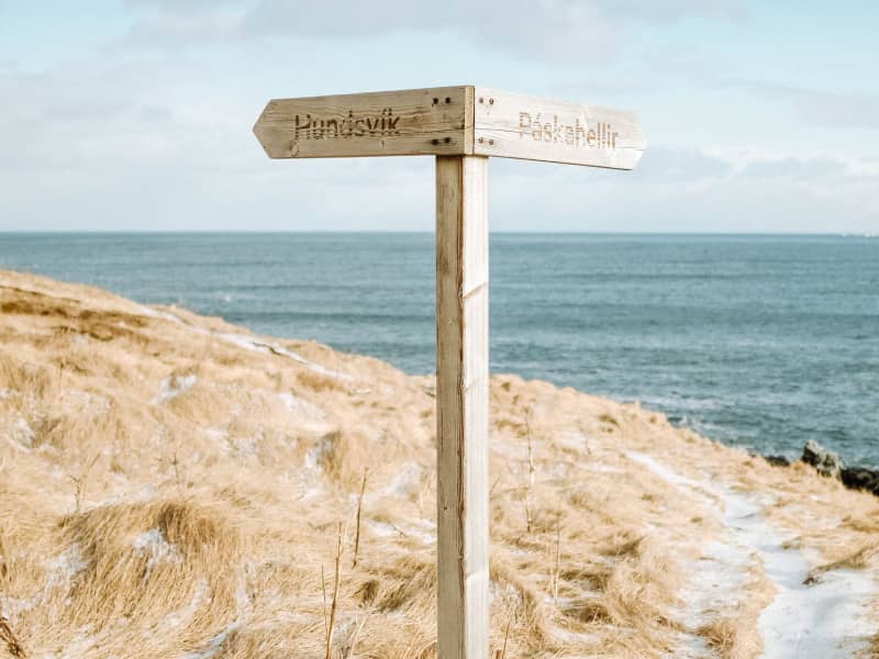
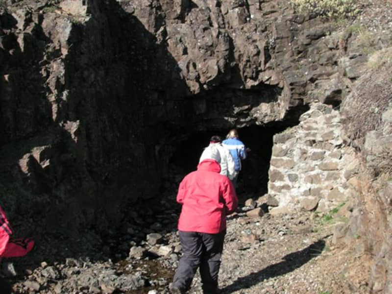
In the Neskaupstaður Nature Reserve, there are enjoyable hiking trails, including one to Easter Cave. A marked trail starts from the parking area at the edge of Neskaupstaður, following the coastline above the sea cliffs to a staircase that descends into the rocky shore by the cave. You can either continue and climb up outside the cave or return the same way. Easter Cave is a grotto carved by the waves, and at its end, you can see cylindrical holes left by trees that likely stood in a lush forest that was buried under lava about 12 million years ago. These holes are now often used as nesting sites by rock pigeons. Near the cave, you can also see beautifully shaped pillow lava, impressive rock dikes, and in some places, hollows filled with quartz crystals and other minerals. Deposits create beautiful patterns in the dark cliff walls, and water drips from the rocks. In winter, this often results in beautiful ice formations and large icicles on the cliff walls. There is a beautiful view over Norðfjörður Bay to Barðsneshorn and Rauðubjarg with its eternal sunshine. The sea, with its small creatures, stands in pools, and in summer, the cliffs are adorned with swathes of blue lilies. There is abundant birdlife along the shore, such as fulmars, gulls, eider ducks, auks, and various ducks. It is very common to see harlequin ducks in summer, and the winter wren often stays near the cliffs by the staircase, frequently singing for hikers.   It is said that on Easter morning, one can see the sun dance in the cave, and for many years, the Fjord People’s Travel Association has organized hikes to the cave on Easter morning to try to witness this phenomenon. The story also tells that on Easter morning long ago, the farmer from Bakki managed to capture the slough of a beautiful seal maiden who, along with others from Pharaoh's company, had come ashore to celebrate. The farmer married her, and they had seven children. She eventually regained her slough and returned to the sea to her other seven children. Later, the same farmer improved his cattle by capturing a sea cow, breaking its bladder at Uxavogur, a location on the shore near Easter Cave. It was believed that the seal maiden had sent her former husband this blessing. The legend says that sea cattle can be identified by their sea-grey colour and the bladder between their horns or on their noses. They become tame immediately if the bladder is burst, losing their sea nature. In the barn, sea cattle can be recognized by always turning their heads toward the sea.   
Hólmanes
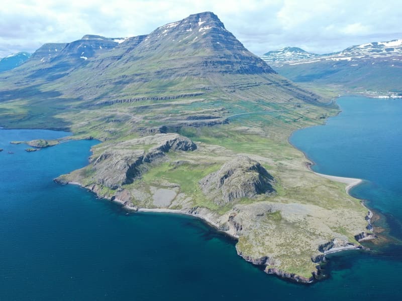
Between Reyðarfjörður and Eskifjörður you can visit the Nature reserve Hólmanes. This is an ideal place to enjoy a good walk either down to the sea or up the hills. Birds and remarkable rock formations can be enjoyed in Hólmanes. With luck, you could stumble upon a herd of reindeers. Powered by Wikiloc
Stekkjarvík
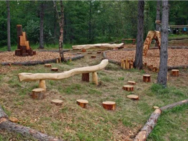
Stekkjarvík is an outdoor area for the family about 4 km away from the urban area of ​​Hallormsstaður, close to Hafursá. There are playground equipment made from local wood, charcoal grills and tables in beautiful clearings.
Þvottaá
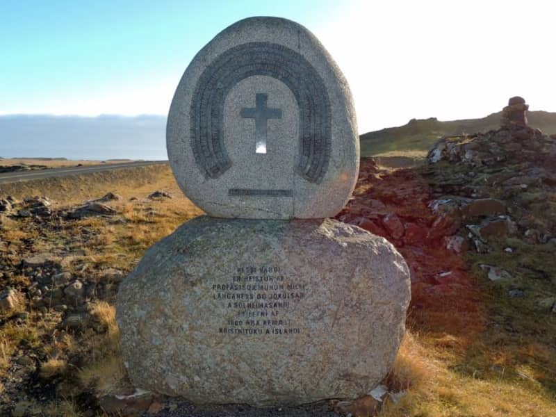
The farm Þvottá is the southernmost farm in Álftafjörður. Around the year 1000 the renowned Saga personality Hallur Þorsteinsson, or Síðu-Hallur, lived there. He received the priest and missionary Þangbrandur, who spent the winter with him. Síðu-Hallur and his whole household were baptized in the river by the farm and since then it was named River Þvottá (The Wash River). The farm gets its freshwater supplies from the so-called Þangbrandur Well, where the missionary probably held services at St. Michael’s Mass with the people of Þvottá attending the day before they were baptized. A ruin by the well was declared inviolate. Þvottá was a church site until 1754 and a parsonage for a long time. The old cemetery is still visible. Mt Mælifell (487m) is closer to the sea and north of it are Sellönd (Summer Pastures). The whole area is rather colourful because of the rhyolite intrusions and quite a few basaltic dykes decorate the landscape. These formations were created by the ancient and extinct central volcano, which has now mostly disappeared under the Álftafjörður Bay. Traces of several minerals were discovered in the area, gold, platinum etc. By Þvottaá, there is a monument to the adoption of Christianity and the area is vell suited for outdoor activities. 
Remba - Hiking trail
The way up Remba is a very pleasant trail. On it you can see Lambafoss, 21 m high, and the gorge which Staðará flows through. If you walk all the way up, you come to an old dam for a 27 kW power plant that supplied Hallormsstaður with electricity in the years 1936 - 1955. Below the stile you can still see the remains of the log that led the water down to the power plant building. Distance: 2.8 km
Eggin í Gleðivík - The Eggs in Merry bay
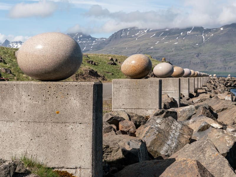
Eggin í Gleðivík (the eggs in Merry Bay) is an outdoor artwork by artist Sigurður Guðmundsson (b. 1942). The artwork has 34 replicas of eggs of nesting birds that nest in the vicinity of Djúpivogur and reflects the strong connection that Djúpivogur has with nature. The work is especially for the site. The eggs stand on concrete pillars that previously supported a landing pipe between the pier and the smelter. Eggin í Gleðivík are a popular tourist attraction and has become one of Djúpivogur´s landmarks.
Sænautasel highland farm
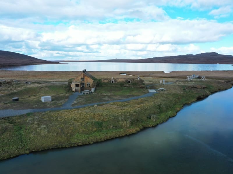
Sænautasel on Jökuldalsheiði is a unique location by the tranquil mountain lake, Sænautavatn. Sænautasel is an old highland farmstead that was rebuilt in 1992 and has been welcoming visitors during the summer since then. At Sænautasel, you can learn about the conditions and struggles of those who lived in the highlands. Guided tours are offered around the farm, sharing stories about the people and farming practices at the highland farmsteads that were inhabited well into the 20th century. Light refreshments are available in a traditional style. It is open every day in June-August.   To reach Sænautasel, you can drive from Highway 1 north of Skjöldólfsstaðir onto Möðrudalsvegur (Road 901) and then, after a short drive, turn onto Brúarvegur (Road 907). Alternatively, you can drive from Brú on Jökuldalur via Brúarvegur (Road 907) north to Sænautasel. From Sænautasel, it is a short distance to the magnificent natural rock formations Skessugarður slightly west on Jökuldalsheiði, and also close to Stuðlagil on Jökuldalur.   Settlement in Jökuldalsheiði began in the mid-19th century. The settlements in the highlands were partly built on the ruins of ancient farms and sheepfolds. The highlands are exceptionally beautiful in summer, making it hard to imagine how it was to live there year-round, including the harsh winters. The first farmstead built in the highlands during this period was Háreksstaðir in 1841. Over the next two decades, a total of 16 farmsteads were established in Jökuldalsheiði, the last one in 1862. The quality of the highland farms varied, and their periods of occupancy ranged from a single year at some to nearly a whole century at Sænautasel. The reasons for establishing these highland farms included overcrowding in the lowlands where all farms were occupied, and the development of urban areas and employment opportunities by the sea was still minimal. Therefore, people had few alternatives other than being laborers or tenants.   The farming conditions in the highlands were not entirely bad, although most places had heavy snow, as most farms were over 500 meters above sea level. Resources such as trout fishing in lakes, hunting for ptarmigan, geese, ducks, and swans, and grass harvesting were significant supplements. Some areas had excellent hayfields, at least in good years. Reindeer roamed the area, though their population was at a historical low around the turn of the 20th century. About 120 people lived in the highlands simultaneously at its peak. The eruption of Askja in 1875 greatly affected the highland settlements, causing a temporary abandonment of all farms except the northernmost ones. Many who left eventually emigrated to America. A few years later, some farms were reoccupied, and the settlement continued into the early decades of the 20th century. The last farm was abandoned in 1946.   Sænautasel was first established in 1843 and was inhabited until 1943, except for five years after the Askja eruption. It was the longest-inhabited farm in the highlands, occupied for a total of 95 years. Farming in the highlands under difficult conditions and great isolation has inspired Icelandic writers. Many fans of Halldór Kiljan Laxness know the story of Bjartur of Summerhouses in the novel *Independent People*. It describes the struggle of an independent crofter in a remote highland area. Many believe the story's inspiration came from Sænautasel, as Halldór stayed there in the 1920s. Highland farming was also a subject for writers Gunnar Gunnarsson and Jón Trausti.     Old legends said that sea cattle had been seen in Sænautavatn and even suggested that there were underwater tunnels from the lake to the sea that the sea cattle used.  
Horseback Riding
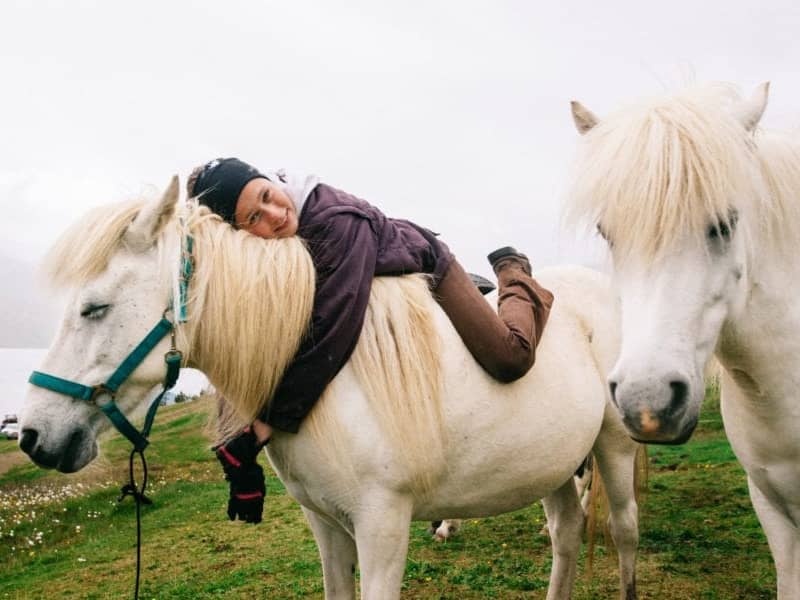
Íslenski hesturinn er uppáhald margra og þekktur víða um heim sem fyrirtaks fararskjóti. Víðsvegar um Austurland eru hestaleigur þar sem boðið er upp á lengri og skemmri ferðir og þær sniðnar að þörfum hvers og eins. Það er einstök og öðruvísi upplifun að njóta austfirskrar náttúru af hestbaki.
Stafdalur
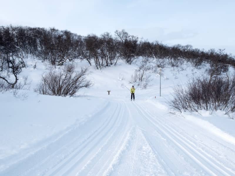
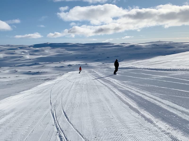
Stafdalur ski resort in Seyðisfjörður is located near road nr 93 between Egilsstaðir and Seyðisfjörður. In the area are 3 skilifts and hills for all kind of skiers. Beginner’s lift is a rope lift 100 meters long and only open on weekends and holidays. Lift nr 1 is a tow lift 900 meters long and has 190 meters vertical drop. Lift nr 2 is a tow lift 700 meters long and has 160 meters vertical drop. Stafdalur has a nordic ski track which is about 5 km long. Ski and snowboard rental is on the area and a hut for all guests.
Arboretum in Hallormsstaðar Forest
The Hallormsstaður Arboretum is unique in Iceland, comprising a collection of around 80 tree species originating from various parts of the world. In addition to trees, there are also various species of shrubs. Begin your walk through the arboretum from the car park by the main road and follow the paths. Allow yourself plenty of time, about 2-3 hours, to explore the arboretum, enjoy the surroundings, and breathe in the fresh air. Walk down to Lake Lagarfljót, enjoy a picnic, and listen to the birds singing.Forestry in Hallormsstaður began in 1903 by fencing off 12 hectares for a tree nursery called Mörk. Half a hectare was prepared as nursery beds, marking the beginning of the nursery. In 1905, 50 Engelmann spruces were planted on the upper half of Mörk. Now, only five of these trees remain, and they are the oldest spruces in the forest, standing close to the parking lot.Over the years, single trees and groups of various species have been planted in Mörk. This arboretum is already the most impressive in the country, offering visitors a good opportunity to see both common and rare species. 
Hallormsstaður hiking circle
A fun trail for the whole family. The route is unmarked but leads to three marked hiking trails. We walk from Hallormsstaðskóli (Húsó), down to Kliftjörn, from there through Höfðavík campsite and then down to Trjásafn. From the Trjásafn you walk up into the forest and come down at Hotel Hallormsstaðar and the circle closes at Hallormsstaðskóli. You can walk the path in both directions. Distance: 5.4 km Family-friendly forest walk