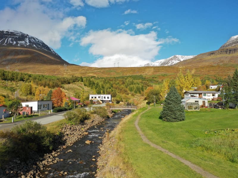
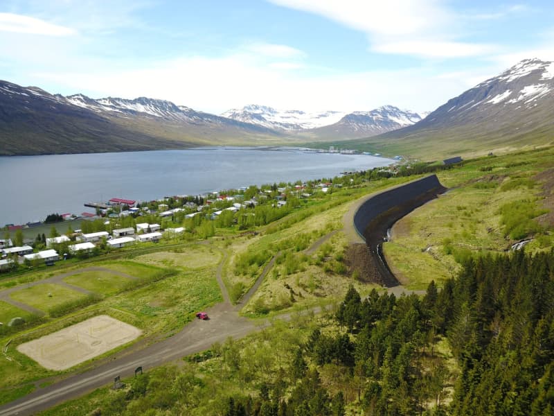
Neskaupstaður Nature Reserve
Iceland´s first nature reserve.
The reserve, stretching from Stórilækur toward the ocean, became formally protected on November 29th, 1972, making Neskaupstaður Nature Reserve the first of its sort in Iceland. In fact, only a few towns in Iceland have access to such an ideal area for preservation at their very doorstep.
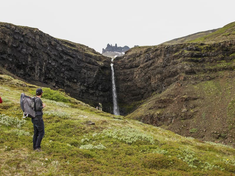
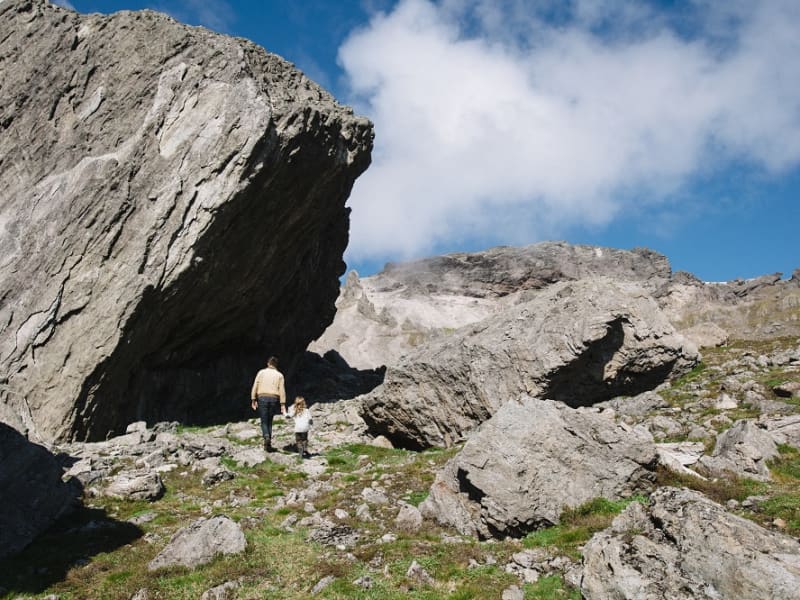
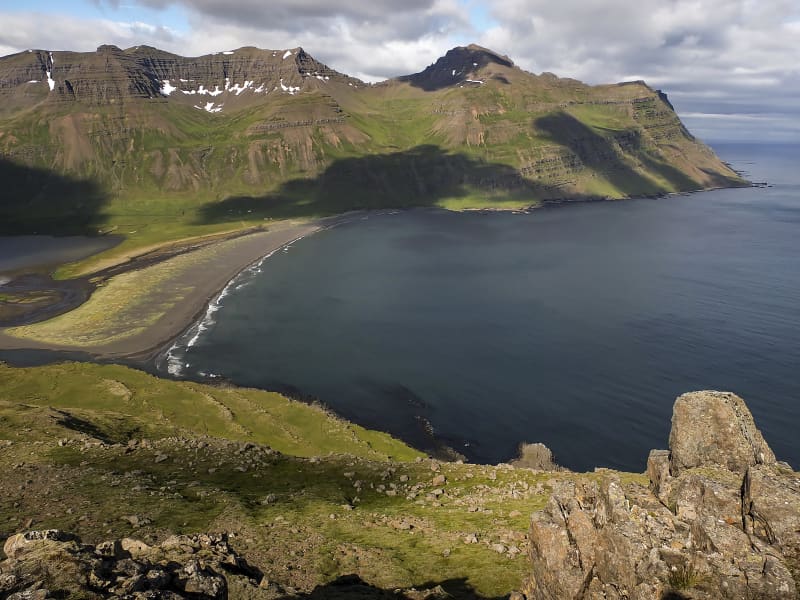
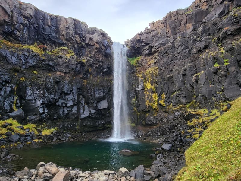
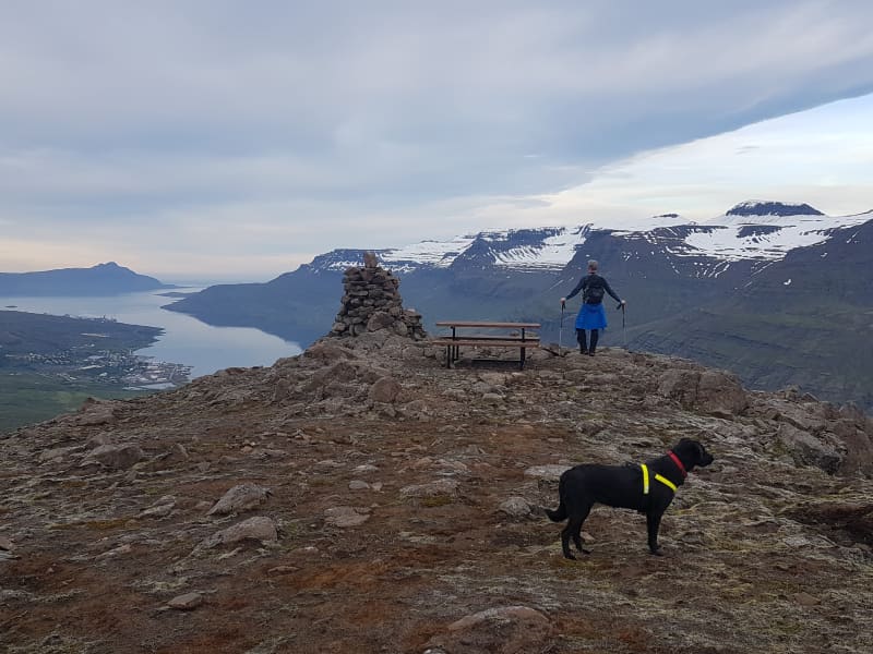
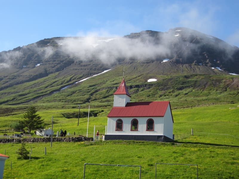
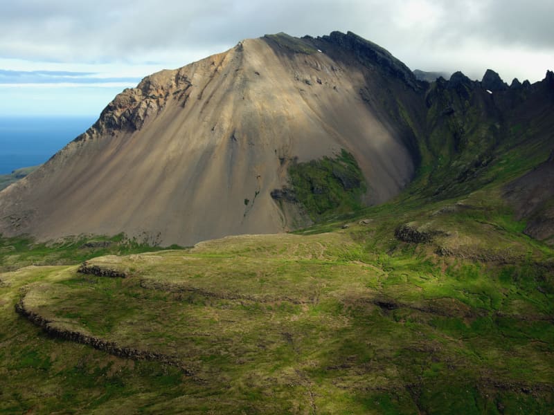
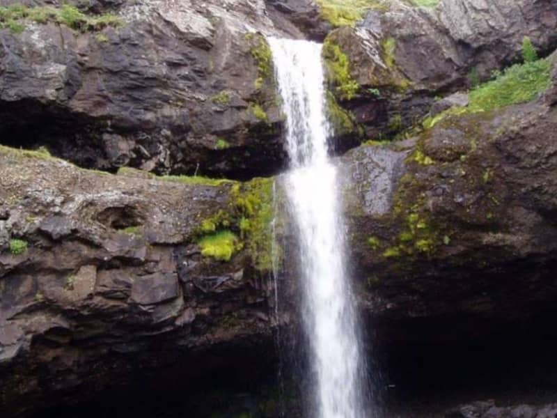
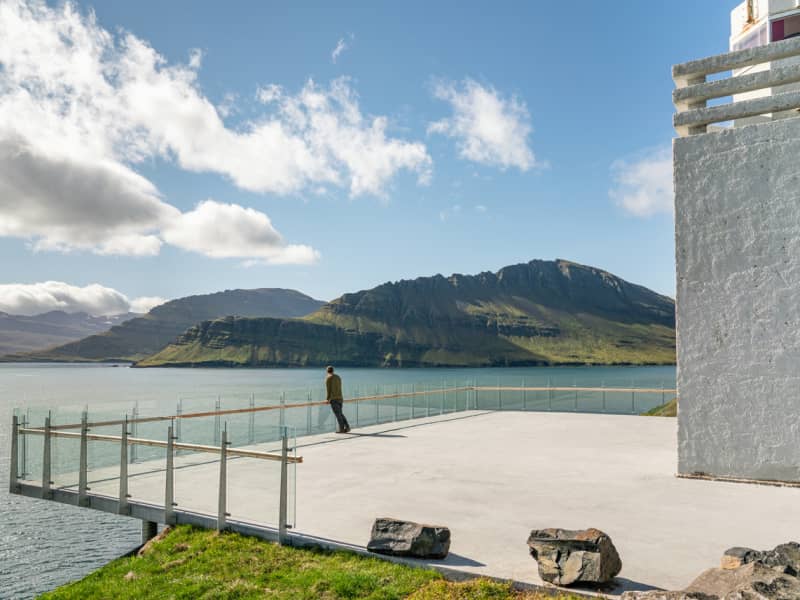
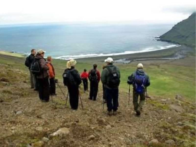
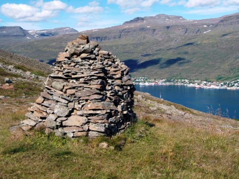
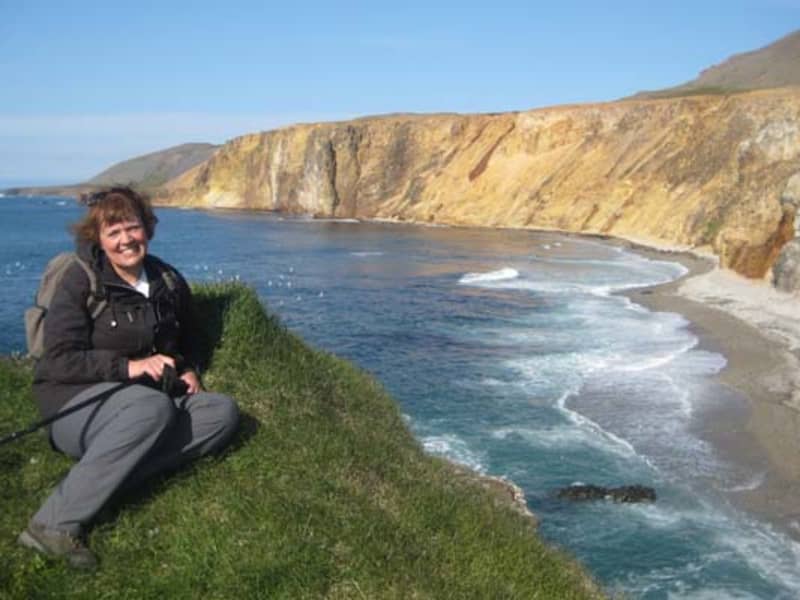
The scenery and view are magnificent, while flora, fauna, and geology are varied, creating a haven for recreation, observation, and instruction in the Icelandic countryside.
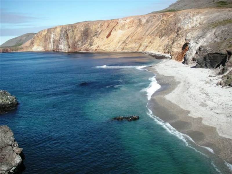
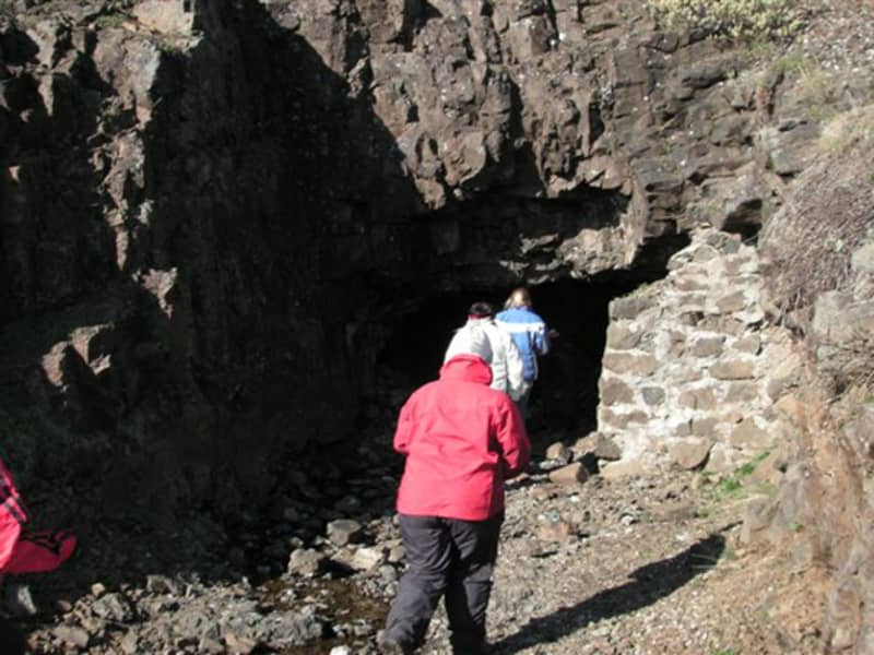
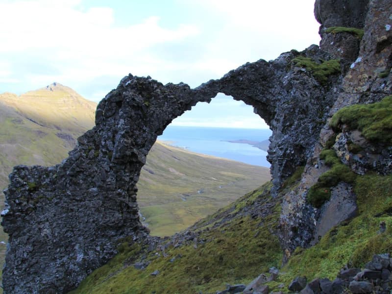
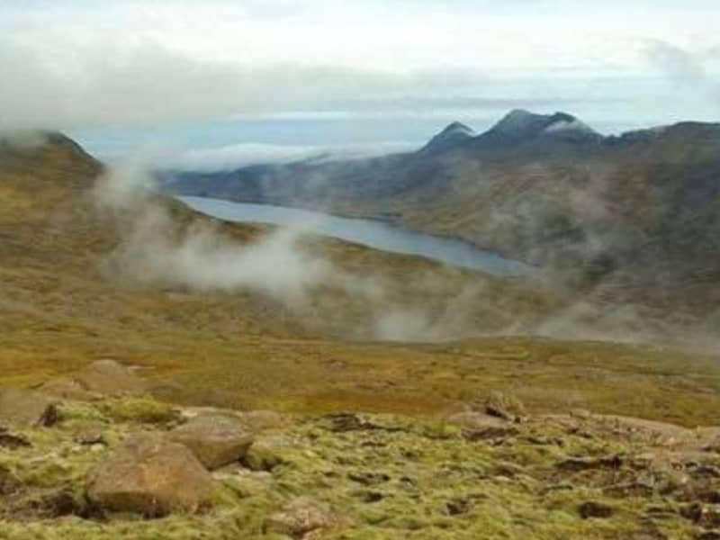
East of the peak Nípukollur (819m), the ridge slopes NE down to 609m. Lying along the entire eastern slope of Nípa, the protected area includes the shore and shallows into the sea. By the steep slope at the coastline, caves or hollows have been carved out by the ocean waves, of which Páskahellir cae is the largest one.
Plant diversity is abundant, with characteristic plants of East Iceland blooming along with rarer species. The cliffs are inhabited by Raven and Thrush, and in the coastal cliffs various sea birds nest, including Fulmars and Puffins. Eider Ducks live at the shore. And puddles left on the rocky coastline, as well as the wave-beaten seaside cliffs, are ideal for inspecting small marine creatures, such as crustaceans, snails and barnacles.
Statutory protection has two main aims. Firstly, to preserve the land and bio diversity as uninfluenced by man as possible, and secondly, to grant the public access to the rich and unspoiled Icelandic nature. To achieve these aims, visitors are kindly asked not to disturb in any way the vegetation or animal life of preserve.
More information about the Neskaupstaður Nature Reserve